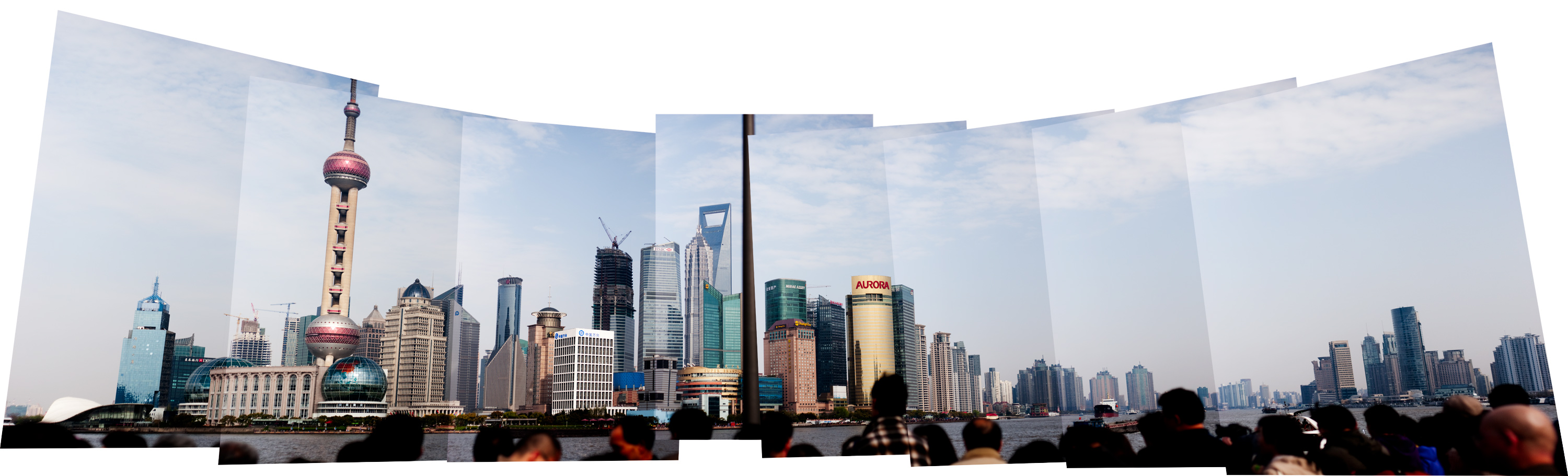
In honor of Leah Karels’s (Karels’?) mom, I thought I would append some sentences to one of the photos I have snapped. I spend all day in front of the computer staring at strings of haphazardly produced sentences (oh the things kids can say in their second language…), and normally I have no desire to do more typing once I get home, but it’s a gorgeous Sunday afternoon and I have the window open, so I’ll narrate a photo.
While I’d been in Shanghai for over nine months, I still hadn’t yet gone to the most famous part of Shanghai, The Bund. “Bund” is an old word, coming from the Middle East that was brought to Shanghai with its many random traders. Or so Wikipedia tells us:
The word “bund” means an embankment or an embanked quay, and comes from the Hindi word band, meaning an embankment, levee or dam (a cognate of English terms “bind,” “bond” and “band,” the German term “bund,” etc.). “Bund” is pronounced to rhyme with “fund”. The term was brought to Shanghai by the family of Victor Sassoon. There are many “bands” to be found in Baghdad, even today.
Just say “bund” out loud a few times. It rhymes with fund and moribund, but not much else. The word itself is so obviously not Chinese, and living in a world of Fumings, Changdes, Kangdings, and other street names and districts so obviously Chinese named–the Real China–going to the one prominent part of Shanghai named by a random trader from the family of Victor Sassoon was just not that interesting. The Chinese call the Bund Wàitān or the foreigner’s warf, and as someone trying (and failing miserably) to not stick out as a foreigner, going to the center of all of the foreigners sounded like capitulation.
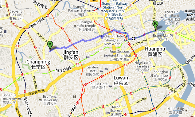
But if I walked there, perhaps that would make up for going to the center of all the foreigners? So on an early Saturday afternoon, I went out my apartment building, turned East and started walking until I would hit water. While Shanghai up until a few decades ago clearly had no city-planners or anyone who was thinking much about where roads fell or where houses cropped up, if Shanghai did have a city-planner, he would certainly not have owned a car. Without even being exactly sure where the Bund was located, nothing in downtown Shanghai is more than a fifteen or twenty minute ride from any other location. Shanghai has two main elevated roads that run through its center, Yan’an Road and Nanbei Road. Nanbei means South-North Road.
The two elevated roads divide the center of the city into four quadrants and serve as useful landmarks if you want to get anywhere on foot. My apartment sits in the Northwest corner, about a twenty minute walk from either elevated path. to get to the Bund, I had to get to the Northeast quadrant, slightly farther south. Since the place I work at lies pretty close to the origin of the graph, I had the northwest quadrant pretty well figured out.
At around point (0,3) on the Shanghai graph is the start of East Nanjing Road. It was the first street that I encountered that I had not yet been too. Like the Bund, Nanjing Dong Lu is also a pretty well-known landmark. It’s the Times Square of China. At one time it was a road, but now it is just a huge pedestrian pathway packed with tourists slinging cheap digital SLR cameras. Shanghai is filled with McDonalds, KFCs, and Starbucks, but on Nanjing Dong Lu you can go to super-sized McDonalds, KFCs, and Starbucks. While I was expecting to see Western tourists, what I found were a lot more Chinese tourists. KFC is very popular.
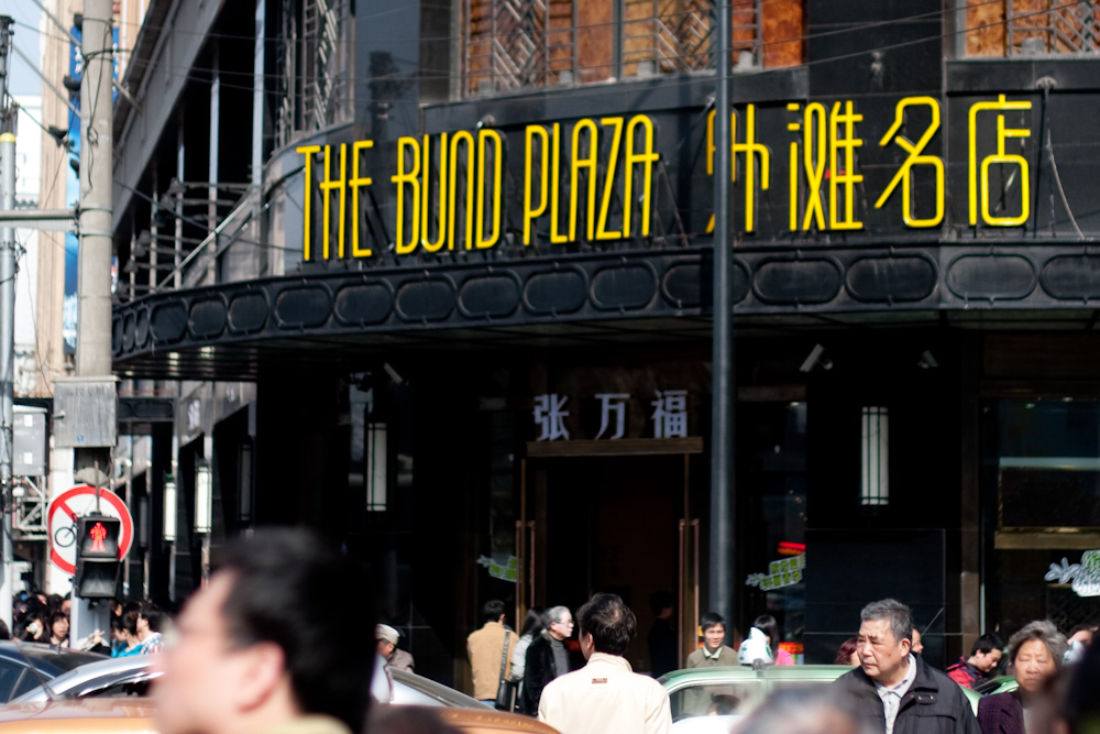
Nanjing Dong Lu ends a few blocks from the Bund. After struggling through a few more blocks of tourists, I finally hit the river. I wish I could say that it was a island of calm in swirling Shanghai, but people flooded up against the edges of the Huangpu river in big waves. People mirrored the current, slowly flowing down the edge of the sight-seeing sidewalk. On one side of them lay the river and beyond the river, the gleaming high rises of Pudong (cf. photo at the top of this post). On the other side sat the magnifiscent old-men buildings of long-dead trading companies and banks (cf. photos below).
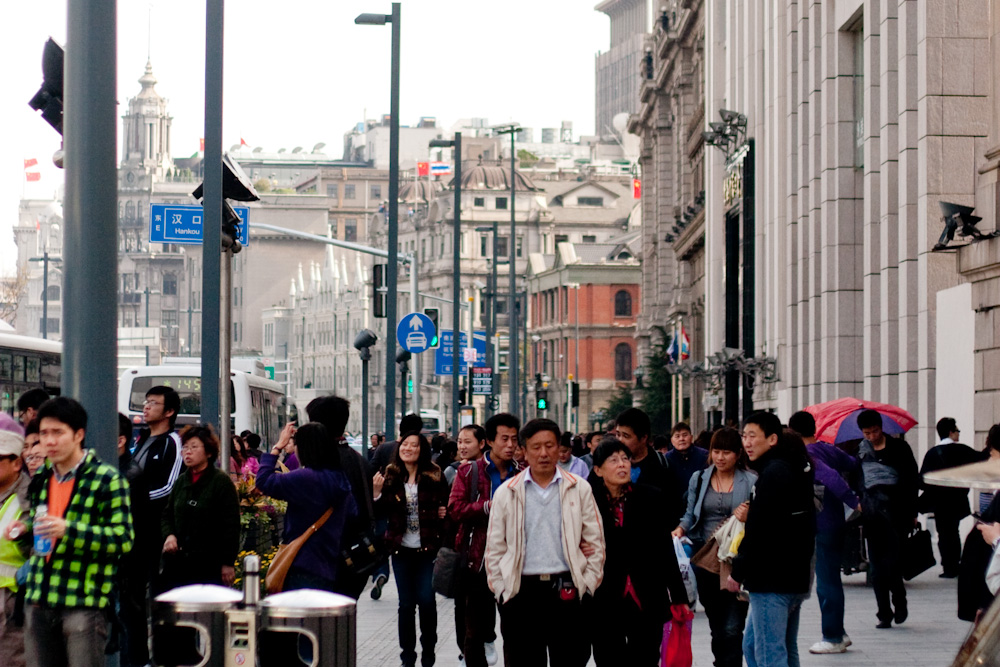
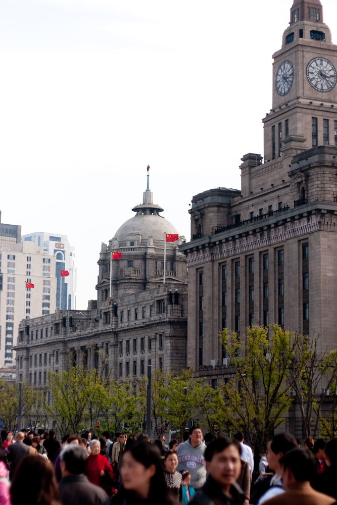
I could talk about the perfect metaphor that river walkway represented for Shanghai with its many residents rubbing against old stone building while longingly looking across the river at the gleaming slivery skyscrapers. But I really didn’t think of that until I started writing this post. Standing there, I was just pretty wowed at how awesome those skyscrapers looked and how they snaked down the Huangpu as far as the eye could see in both directions on both sides of the river. It was a similar feeling to being in Times Square with the entire world’s grid bending itself around you. And I guess that’s just one of the benefits of living in Shanghai.